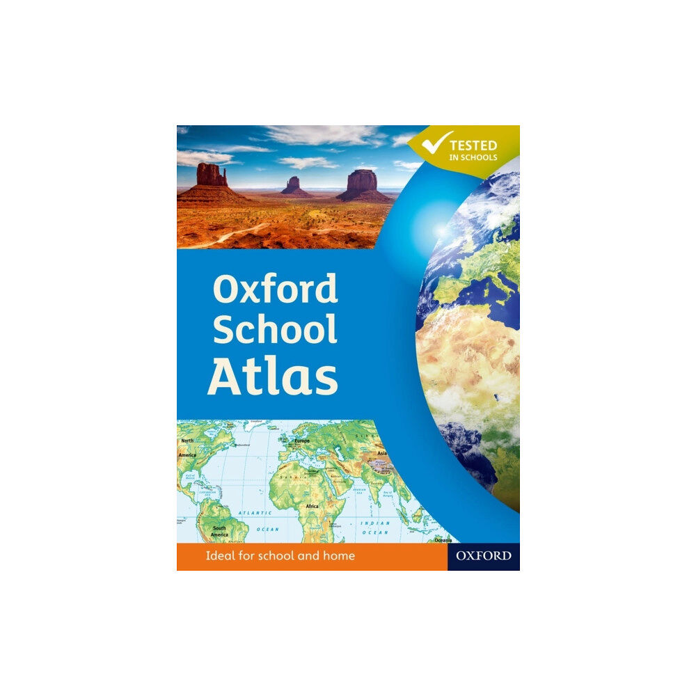
The Oxford School Atlas is an essential resource for students, featuring country data and easy-to-read colourful mapping in an accessible layout based on research into how students use maps.Key Features:• Curriculum-Aligned: Covers key themes such as earthquakes, volcanoes, climate, economic activity, and development.• Comprehensive Coverage: Includes detailed maps of the British Isles and global regions.• Case Studies: Features real-world examples including Italy, Kenya, Brazil, Japan, China, California, the Indian Ocean tsunami, Hurricane Katrina, and Antarctica.• Accessible Design: Clear, colourful mapping and engaging visuals to support learning.This atlas combines accurate data with practical features, making it ideal for classroom use and exam preparation.
| Format |
Inbunden |
| Omfång |
96 sidor |
| Språk |
Engelska |
| Förlag |
Oxford University Press |
| Utgivningsdatum |
2012-05-31 |
| ISBN |
9780199137015 |