
- Hem
- Böcker
- Kurslitteratur
- Geografi & Kartor
- Philip's Big Easy to Read World Atlas (A3) (häftad, eng)
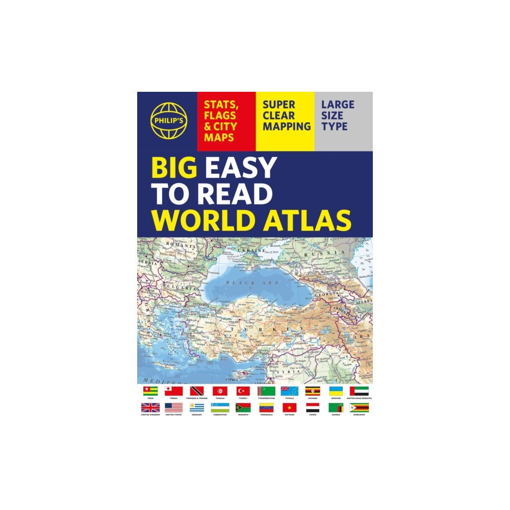
Philip's Big Easy to Read World Atlas (A3) (häftad, eng)
With detail you need at a size you can read, this extra large, quick-reference, great value World Atlas contains thousands of g...
Produktbeskrivning
With detail you need at a size you can read, this extra large, quick-reference, great value World Atlas contains thousands of global facts at your fingertips. Both physical and political geography are easy to read and clearly illustrated along with details about the great cities of our time.
The highest peak? The deepest ocean trench? The wettest, driest, longest, largest - we list the world's fascinating extremes. Large and clear but crammed with practical information like a Distance Chart for World Cities, World Time Zones, 200 State Flags and the top 100 most populous countries, we include around 15,000 places indexed for easy checkingWhether for the pub quiz, travel planning or school reference, this great value, large format world atlas is crammed with everything you need to know.
Features include:
* Easy to read mapping in LARGE type
* 200 Flags of the world's major states and territories
* 30 City centre maps: transport (road, rail, trams, light railways, bus and railway stations) and places of interest including religious buildings (churches, abbeys, cathedrals, synagogues, shrines, temples, mosques), museums, galleries, theatres, palaces, castles, parks, gardens, zoos, shopping centres, hospitals, Tourist Centres.
* World city distance table
* World time zones map
* Country comparisons table - the population and areas of the world's top 100 most populous countries
* Physical comparisons- largest oceans, longest rivers, biggest islands, highest peaks, deepest trenches.
* Continental Comparator - for each one we show area, coldest place, hottest place, wettest place, driest place
* World topographic maps - with coloured contour layers and hill-shading clearly outlining the Earth's surface.
* World political maps - the latest boundary and geopolitical changes.
* LARGE TYPE Index of approx15,000 place-names - with geographical features like mountains, lakes and deserts, as well as towns.
| Format | Häftad |
| Omfång | 96 sidor |
| Språk | Engelska |
| Förlag | Octopus Publishing Group |
| Utgivningsdatum | 2026-08-13 |
| ISBN | 9781849077576 |
Specifikation
Böcker
- Format Häftad
- Antal sidor 96
- Språk Engelska
- Utgivningsdatum 2026-08-13
- Förlag Octopus publishing group
- ISBN 9781849077576
Leverans
Vi levererar ditt paket med Budbee, Instabox och DB Schenker. Frakten kostar 49 kr men handlar du för över 499 kr är det fri frakt. De exakta leveranstiderna för varje produkt ser du direkt på produktsidan och i kassan. När din order skickats får du en spårningslänk via e-post eller SMS.
Betalning
Hos oss betalar du tryggt via Avarda. Du kan välja mellan Swish, kort (VISA/MasterCard), faktura med 30 dagar eller konto för delbetalning. Alla köp sker krypterat och säkert.
Retur & reklamation
Som privatkund har du 14 dagars ångerrätt enligt distansavtalslagen. Retur kostar 49 kr och bokas via kundtjänst innan du skickar tillbaka varan. Återbetalning sker alltid via samma betalmedel du använde vid köpet.
Du har 3 års reklamationsrätt enligt konsumentköplagen. Vid godkänd reklamation står vi för returfrakten. Kontakta oss på [email protected] om du vill göra en retur eller reklamation, så guidar vi dig genom processen.
Specifikation
Det finns tyvärr inga specifikationer att visa för denna produkt.