
- Hem
- Böcker
- Kurslitteratur
- Geografi & Kartor
- Camino de Santiago Overview & Planning Map
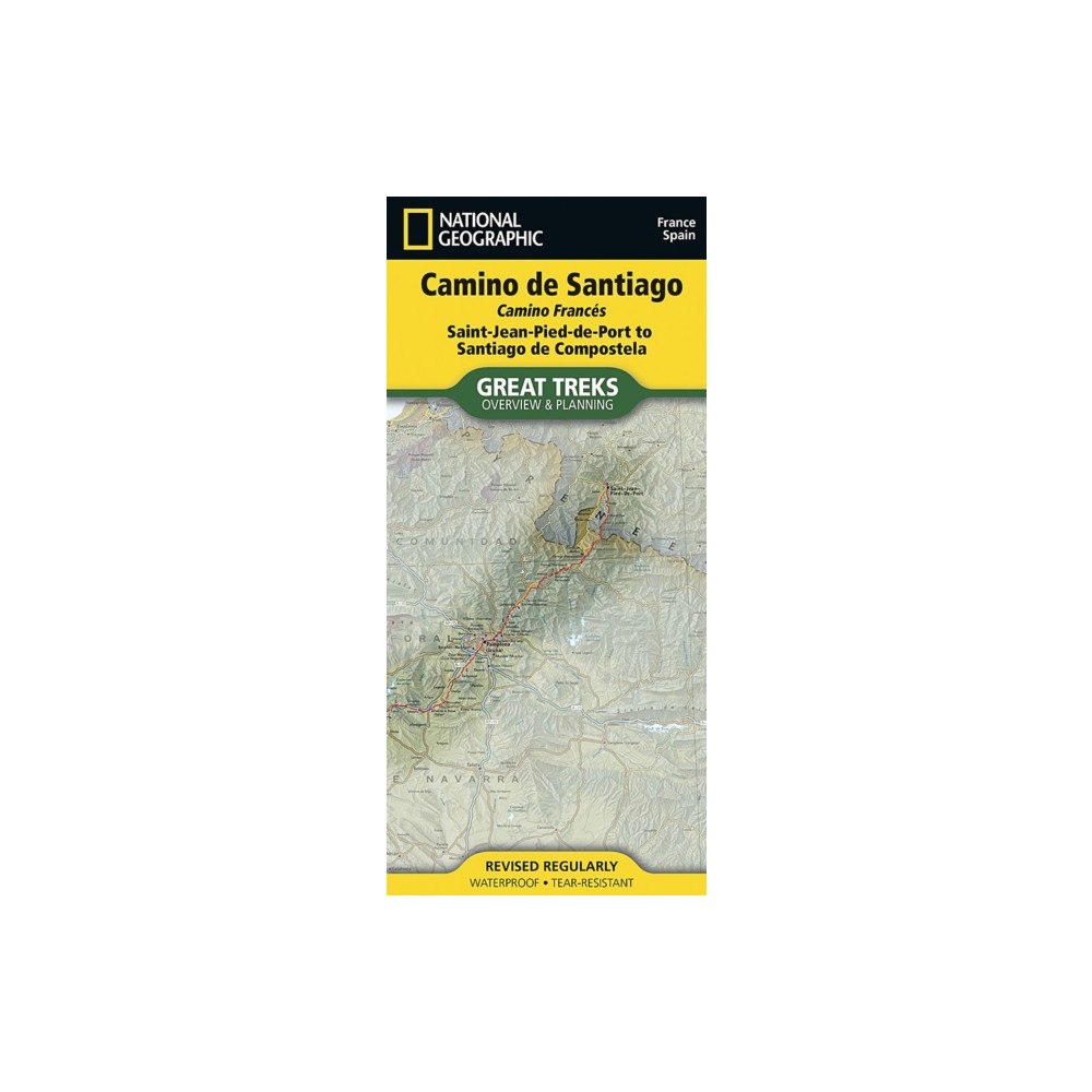
Camino de Santiago Overview & Planning Map
• Waterproof • Tear-Resistant • Topographic Map
Discover the Camino de Santiago with National G...
Produktbeskrivning
• Waterproof • Tear-Resistant • Topographic Map
Discover the Camino de Santiago with National Geographic
The Way of Saint James, known in Spanish as Camino de Santiago — or simply El Camino (The Way) — has been one of Europe's most iconic walking routes since 9th century pilgrims began making their way to the Cathedral of Santiago de Compostela to venerate the remains of Saint James. Though rooted in Christian tradition, the route has been reborn as a nondenominational spiritual rite and epic long distance trail that runs along Roman roads, across mountains, and through picturesque countryside and historic towns.
There are many variations on the route, with several originating in France, Spain, and Portugal. The Overview and Planning Map covers the most popular route, the French Way, or Camino Francés, a 780-kilometer (485-mile) trek beginning in Saint-Jean-Pied-de-Port on the French side of the Pyrenees, making its way to Santiago de Compostela through the major cities of Pamplona, Logroño, Burgos, and León.
The National Geographic Camino de Santiago Overview and Planning Map is an essential companion for every hiker. Designed for both first-time trekkers and seasoned adventurers, this beautifully detailed map and its accompanying infographics make planning easier, smarter, and more inspiring.
The map displays the entire length of the Camino de Santiago, Camino Francés, highlighting nearby towns, roads, stage markers, and key waypoints. A comprehensive trail chart provides cumulative distance from Saint-Jean-Pied-de-Port, section distances, average slope, elevation gain and loss, and the highest and lowest points along each segment. You’ll also find practical details such as lodging, restaurants, campsites, and nearby bus and rail stations — everything you need to plan with confidence.
Whether you’re dreaming, preparing, or already lacing up your boots, the National Geographic Camino de Santiago Overview and Planning Map is the perfect tool to turn your Camino plans into reality.
Every Great Treks map is printed on "Backcountry Tough" waterproof, tear-resistant paper. A full Lat/Long grid is printed on the map to aid with GPS navigation. Every map purchase helps support the National Geographic Society, an impact driven, nonprofit organization with global reach that uses the power of science, exploration, education, and storytelling to illuminate and protect the wonder of our world.
Specifikation
Böcker
- Antal sidor 1
- Format Falsad
- Språk Engelska
- Utgivningsdatum 2026-07-01
- ISBN 9781566959742
- Förlag National Geographic Maps
Leverans
Vi levererar ditt paket med Budbee, Instabox och DB Schenker. Frakten kostar 49 kr men handlar du för över 499 kr är det fri frakt. De exakta leveranstiderna för varje produkt ser du direkt på produktsidan och i kassan. När din order skickats får du en spårningslänk via e-post eller SMS.
Betalning
Hos oss betalar du tryggt via Avarda. Du kan välja mellan Swish, kort (VISA/MasterCard), faktura med 30 dagar eller konto för delbetalning. Alla köp sker krypterat och säkert.
Retur & reklamation
Som privatkund har du 14 dagars ångerrätt enligt distansavtalslagen. Retur kostar 49 kr och bokas via kundtjänst innan du skickar tillbaka varan. Återbetalning sker alltid via samma betalmedel du använde vid köpet.
Du har 3 års reklamationsrätt enligt konsumentköplagen. Vid godkänd reklamation står vi för returfrakten. Kontakta oss på [email protected] om du vill göra en retur eller reklamation, så guidar vi dig genom processen.
Specifikation
Det finns tyvärr inga specifikationer att visa för denna produkt.